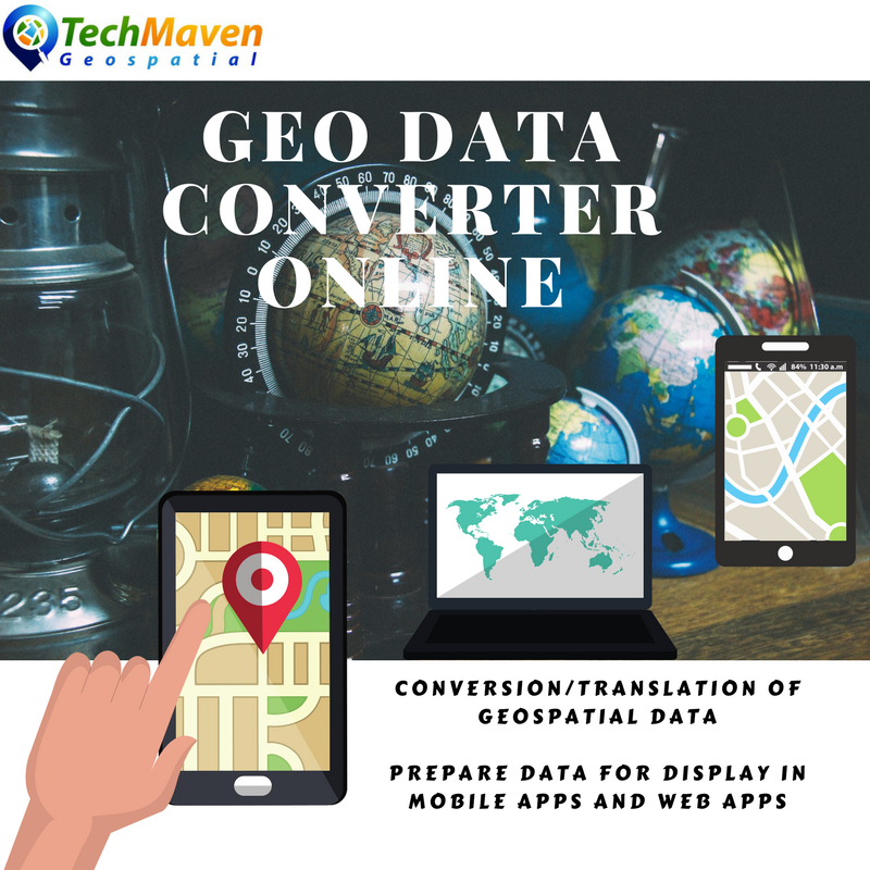

Planned for Initial Launch – January 2023
The long overdue and anticipated Conversion and Analysis Service by Tech Maven Geospatial
We are launching with over 600 converters and more than 15 worker nodes with lots of horsepower (# of threads, RAM, GPU, Storage)
https://geodataconverter.com https://geodataconverter.xyz https://geodataconverter.online
AIXM (XML) Conversion
Fast Efficient Processing
Fast and Efficient Processing in Secure data center. Raster Geoprocessing and Map Tiling is CPU and GPU dependent and we utilize the best hardware with speedy SSD, Dedicated GPU’s and lots of Cores.
Cost Effective and Affordable
You can’t process your data faster and more optimized that our systems and definitely not for the costs involved.
Simple Interface for submitting jobs
We ensure usability and good user experience by designing things as simple as possible and with as few steps as can be achieved.
Support available
We stand behind our services and will fix issues and prevent downtime to the best of our abilities.
We offer customer support ticket system, email and phone
Integrated with Orange Maps Studio
GeoData Converter Online integrates with Orange Maps Studio to display and publish maps and data.
As well as our mobile and desktop applications
API/SDK integrate into your existing applications
Build complex workflows connecting GeoData Converter to your existing processing and services through our published and documented Application Programming Interface (API)
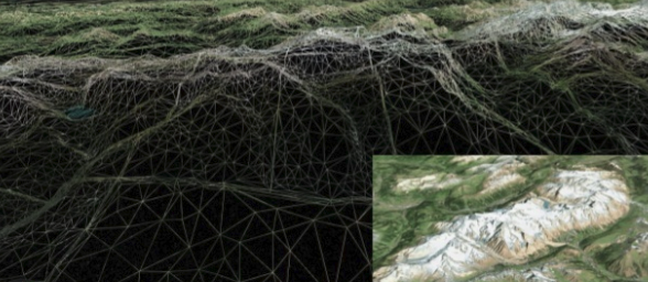
3D Terrain Data
Generate and Display 3D Terrain Tiles for use in Mobile App and WebGL Applications.
Cesium Quantized Mesh Format and HeightMap Format.
Elevation PNG Tiles inside MBTiles for offline spot elevation (Elevation is encoded in RGBA Pixel Values)
Advanced Raster Tiling
Advanced Tiling jobs and optimization/post processing
Apply 3D Elevation to Vector Data
Submit Vector Data and get vector data with Z Values (elevation) and Min, Max and slope Information added.

If your NOT interested in Subscription for GeoDataConverter, we offer GIS Data Conversion and Map tiling Services on Fiverr Freelance site and Upwork and Freelancer.
Vector Tiling https://www.fiverr.com/s2/21049d1e54
Raster Tiling https://www.fiverr.com/s2/a17b2f5d1b
Geospatial ETL and conversion, translation, optimization https://www.fiverr.com/s2/28d14c6f01
CLIP/CUT an Area of Interest into mbtiles or gpkg or Tile Layer (XYZ or WMTS) https://www.fiverr.com/s2/74c6574c0a
Apply 3D elevation to vector data https://www.fiverr.com/s2/865fe950a5
In addition to data development services, we offer full suite of application development services.
mobile mapping apps https://www.fiverr.com/s2/7cba2b6dac
Web Mapping https://www.fiverr.com/s2/28e51ecbb0
You can always use the custom conversion job form to submit a job for a quote.
We also can help build an automated script for processing data for you to run.


